Historic Waterways of Weybridge


by Deborah Muir, Local Studies volunteer

Section of Ordnance Survey Map from 1920. Showing The River Wey Navigation and Portmore Park in Weybridge.

Elmbridge is blessed to host so many fine waterways, most notably The River Thames which majestically winds its way to the capital and then on to the sea through Weybridge, Walton, Molesey and Thames Ditton. Water is inextricably linked to the history of the area with the rivers and waterways contributing to the development of the towns, providing opportunity for industry as well as leisure and sport.

There is a small section of water at the northwest boundary of Elmbridge, from where The River Thames meets The Wey River to The Wey Bridge which provides locals and visitors alike with a dose of tranquillity away from the increasingly congested roadways of Weybridge town.

Published:
29 February 2024
See previous post:

'Lovely Windings of the River Wey'

Its beauty was noted by prominent literary activist, actress and part time Weybridge resident Fanny Kemble in her, 'Records of a Girlhood' (1878). Here Fanny was introduced by her mother to fishing for which she too developed a passion later in life.

Print of Fanny Kemble, 19th century, after Sir Thomas Lawrence.Print of Fanny Kemble, 19th century, after Sir Thomas Lawrence.

'Records of a Girlhood' (1878)

“I followed no regular studies whatever during our summer at Weybridge. We lived chiefly in the open air, on the heath, in the beautiful wood above the meadows of Brooklands, and in the neglected, picturesque in closure of Portmore Park, whose tenantless, half-ruined mansion, and noble cedars, with the lovely windings of the river Wey in front, made it a place an artist would have delighted to spend his hours in.”

“We haunted it constantly for another purpose. My mother had a perfect passion for fishing, and would spend whole days by the river, pursuing her favorite sport. We generally all accompanied her, carrying baskets and tackle and bait, kettles and camp stools, and looking very much like a family of gypsies on the tramp. We were each of us armed with a rod and were more or less interested in the sport. We often started after an early breakfast, and, taking our luncheon with us, remained the whole day long absorbed in our quiet occupation.”

“Although we all fished, I was the only member of the family who inherited my mother’s passion for it, and it only developed much later in me,”

“But towards the middle of my life I became a fanatical fisherwoman, and was obliged to limit my waste of time to one day in the week”.


Learn more about Fanny Kemble in our 'Literary Elmbridge' online exhibition

The Portmore Estate

Photograph of a portrait painting of Catherine Sedley, Countess of Dorchester, seated

Photograph of a portrait painting of Catherine Sedley, Countess of Dorchester. Accession No. 164.1977

As Fanny says, this stretch of water formed part of the Portmore House Estate. The house at this estate is introduced by an entry in John Evelyn’s diary of July 23rd 1678. Here he records a visit to the rebuilt house of the Duke of Norfolk, Thomas Maxwell, where he lived with his wife Jane Bickerton, daughter of Sir Robert Bickerton, Gentleman of the wine cellar to Charles II, from whom the Duke acquired the estate. Later the house was sold to James II for his mistress Catherine Sedley, the Countess of Dorchester. Catherine was given the house not long before the King left not only her but his Kingdom. After the abdication, Catherine was forced to let the house and live in a small house nearby. This house although extended since Catherine’s time remains and is known as Portmore House at 54 Church St, now home to Curchods Estate Agents.

Catherines’ fortunes improved when she met and married in 1696 David Colyear, a commander in the new King, William’s army. He was made an Earl, the First Earl of Portmore in 1703. Catherine had given her house in Weybridge to him as a wedding present. Part of the Wey Navigation ran alongside the estate and when a half share on the profits of the waterway came on the market Lord Portmore bought it for £3000. As a ‘proprietor’ Lord Portmore did not ‘own’ the waterway but was simply entitled to a share of the profits. It was a wise investment which paid handsome dividends.

Photograph of Portmore Pillars taken from Thames Street at entrance to Portmore Park road. Circa 1958. Accession No. 370.1974

Photograph of the Portmore Pillars taken from Thames Street at entrance to Portmore Park Road c. 1958. Accession No. 370.1974

The Portmore Estate and share in the Wey navigation remained in Colyear family hands until the death of the fourth Earl of Portmore, Thomas Charles Colyear.  He died without an heir and the title became extinct. The last Lady Portmore, his wife, lived until 1844 but the family had lost all interest in Weybridge and the river.

The estate stood empty for several years as Fanny recalled in her writing. In 1861 the land was sold and in 1887 the present roads were laid out and plots sold for housing.

One plot did not have a house, instead a building was erected close to the river as a boat house from which punts and skiffs could be hired. This building can still be seen today (more of this to come later). All that remains of the 18th and 19th century Portmore Estate is the name, given to Portmore Park Road and the two pillars which once marked the entrance from Thames Street which can still be seen at the end of Portmore Park Road.


47. Thames Lock, Weybridge. Dev. 5.94Photograph of Thames Lock, taken from The River Wey towpath c. 1994. The lock keeper’s cottage is seen on the right of the image.

Thames Lock

Close investigation of the peaceful stretch of water from where The River Thames meets The Wey River to The Wey Bridge reveals some points of historical interest and further appreciation of this beautiful waterway and those that lived, worked and played here.

The work of local historian and photographer John Smith in the 1990s and early 2000s provides us with a wonderful representation of this stretch of water. His photographs have been used here alongside other images from the museums collection.

Thames Lock marks the beginning of The River Wey Navigation, almost 20 miles of waterway from The River Thames at Weybridge to Godalming, it was first built in 1653.

The Wey Navigation

Transport to London by road was difficult in the 17th century. Only one or two tons could be carried in a horse drawn wagon. Nobleman Sir Richard Weston inspired by the canals and waterways of the Netherlands planned to turn the River Wey into a navigable route to The Thames. Made possible by the 1651 Act of Parliament the scheme involved the modification of the natural river channel, the digging of canals to link two sections of the river, along with the building of locks to allow for changes in height and weirs to control water levels.

Copy of Sepia postcard of The Lock Keeper's Cottage, River Wey, Weybridge, c. 1930s with a footbridge in the background. The lock keeper's cottage is on the right and to the left the edge of the stable for the horses that towed the barges is just visible next to a very large tree in full leaf.Copy of Sepia postcard of The Lock Keeper's Cottage, River Wey, Weybridge, c. 1930s with a footbridge in the background. The lock keeper's cottage is on the right and to the left the edge of the stable for the horses that towed the barges is just visible next to a very large tree in full leaf. Accession No. 210.1984/13

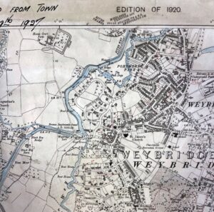
Creating a New Route

The new route required nine miles (14.4 km) of canals to link different sections of river. Twelve locks were constructed along with weirs, wharves and bridges. About 200 navvies completed the work in two years, with the navigation opening in 1653. The total cost of the works was £16,000, an enormous sum for the time. Sadly, Sir Richard died in 1652 before the navigation opened.

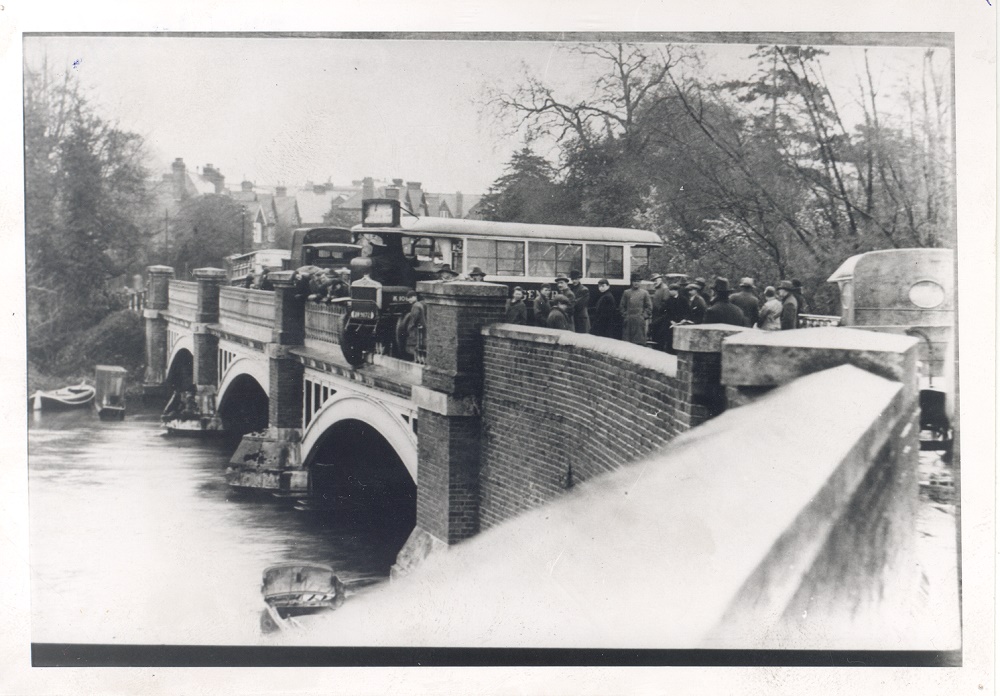
Carriage of goods between London and Guildford in both directions was undertaken on barges built to carry 30 tons, drawn by a horse. Among other things oak was carried downstream to the Thames for use in shipbuilding and corn was brought back upstream for the mills along the waterway.

At this site there has been a lock keepers’ cottage since the Navigation was first built in 1653. Seen today is the 1765 lock cottage that was rebuilt in 1975 by the National Trust, successfully managing to preserve the building’s original appearance.

Whittets Ait

The lock keeper’s cottage sits opposite the towpath on Whittets Ait. This island was created by the Wey Navigation works and it lies between the River Wey and the Ham Haw Cut access to the River Thames. Whittets Ait is now the location of private housing and public parkland but has been the site of various mills. This is not surprising given that whenever a lock was built, as it was in 1653, a head of water was created providing waterpower. According to museum archives the first contemporary reference to a mill here dates to between 1691 and 1693. Noted in the Wey Navigation records is evidence of a deed being granted to Robert Douglas Esqr. Lessee of Ham Court Estate to erect a mill to be called Ham Haw Mills bearing the date May 27th 1691. Over the years there has been a paper mill, a corn mill, an iron mill and most latterly an oil mill which continued to operate into the 1960s. Museum records note that the mill has had various names throughout its history. The name which endures is Whittet and it is the name of the last mill owners and operators. Housing has been on the site since 1989.

Photograph of Whittets Mill c. 1920s. Taken from the Thames lock bridge looking upstream with Whittets Mill seen on the left. Accession No.553.1964/2

Photograph of Whittets Mill being demolished c. 1994. Taken from The River Wey towpath looking upstream, demolished Mill seen on left.

Copy of postcard sent to Master N Monger in Sherbourne St John, postmarked Weybridge 8th June 1911. There is a large tree to the left of the bridge on which there are four boys and two girls, one boy is fishing.Copy of postcard sent to Master N Monger in Sherbourne St John, postmarked Weybridge 8th June 1911. There is a large tree to the left of the bridge on which there are four boys and two girls, one boy is fishing. Accession No. 4.2011/18

The Weirs

Walking upstream away from Thames Lock the towpath takes walkers on a bridge for about 20 meters. Underneath the bridge is the sluices and weir known as Coulson’s Bay, which takes surplus water out of the Ham Haw Cut into a channel which leads into the Thames. This was built most likely in the period between 1776 and 1808 when Ham Haw Mills was owned by Jukes Coulson.

A little further on, seen opposite from the towpath is Bulldogs Weir which was built as part of the Wey Navigation and rebuilt in the 1850s, across the natural course of the river to divert more water down the Ham Haw Cut. The job of opening and closing these sluices was that of the lock-keeper at Thames Lock who would have walked along the river bank on the non tow path side to get there.


River House

Just passed Bulldogs Weir on the opposite bank to the towpath is River House, the boat house mentioned earlier. Built in the 1880s it was Butler’s Boat Yard, a long building close to the river edge from where the Victorian ladies and gentlemen of Weybridge punted and skiffed up and down the river in their finery.  Other photographs suggest it was also Nicholls Boat house for a time.  Now the building, River House, is a large private home.

Photograph of the Wey Boathouse, now River House c. 2003. Photographed from the opposite side of the river. River and long boat seen in the foreground.

Black and white copy photograph of Nicholls Boathouse, on the River Wey, c. 1900s. This photograph shows the boathouse on the right of the river with several boats outside on the slipway. Accession No. 434.1979

Black and white postcard entitled The Bridge, Weybridge, sent to Mrs. Melton in Bognor from Weybridge on 28th July 1928.
The postcard shows one punt with a man dressed in white punting with two passengers and a rowing boat with at least three men in it. Perhaps they were hired from Nicholls Boatyard.

Between the Two Bridges

The towpath continues and users will pass under the new Wey Bridge begun in 1939 and completed in 1945 after the Second World War ended. Then eighty meters or so up ahead is The Wey Bridge the bridge from where Weybridge gets its name. There has been a bridge at this site since at least the 7th Century according to local historian Neil White (Weybridge Past 1999).

Riverside residences now occupy the banks on both sides of this particularly tranquil spot between the two bridges. However, it would not always have been so peaceful, on the non-towpath side the site was for many years a wharf and depot of the builders’ merchants Eastwoods who operated barges of their own. Surrey History Centre records show that from 1900 to 1920, at least, Eastwoods & Co. had barges bringing cargoes of bricks or cement up from the Thames to be offloaded here.

Commodities of all sorts could be seen transported on the Wey over the years but somewhat unusually after the First World War cargoes of airplanes were loaded at Weybridge, presumably surplus production from nearby Brooklands where several firms had built aircraft during the war. According to A. Wardle in his book Wey Navigations 2003, between 30th June and 6th September 1920, 19 cargoes of airplanes totalling 165 tons were put on barges possibly at Eastwoods or at the nearby Weybridge Town Lock and transported downstream.

Whilst industry was the focus on the non-towpath side it was somewhat more leisurely on the other side, where the tow path hugs the waterway. Now private residences this site was occupied by Mr Butler from about 1920 when he moved here from his site upstream, the aforementioned boat house now River House. Skiffs and punts could be hired out for visitors and locals to enjoy the water. Boats were still being repaired and moored on this site into the 1980s.


Photograph of the Wey Bridge from the tow path, showing a crowded scene on the River Wey, four boats with people in them, five punts moored on the left bank and children can be seen hanging over the bridge.

Photograph of the River Wey taken from the Wey Bridge looking back at the tow path showing two children on the footbridge bridge on left, boathouse on right, many punts moored along bank, and two men working on the punts. The name "E. Butler" can be seen by the bridge.

Black and white photograph of the Wey Bridge showing a bus which had crashed over the side, during the 1920s, with crowds standing beside it.

Copy of article in the Surrey Advertiser 5th August 1856 from Elmbridge Museum archivesCopy of article in the Surrey Advertiser 5th August 1865 from Elmbridge Museum archives

The Wey Bridge

The cast iron Wey Bridge you see today opened in 1865 replacing the wooden bridges that existed previously.

It opened, the Surrey Advertiser notes, without the rejoicing and ceremonies that had been anticipated. On 29th July 1865 the Surrey Advertiser reported that the new bridge might be opened by one of the many local influential inhabitants of the area that would be willing to undertake this role in appreciation of what was considered important public works to improve traffic in the area. They specifically mention that the rather eccentric Lord Kilmorey of Woburn Park might be enticed out of his vicinity (Chertsey) for the role, given his interest in projects to improve the area.

In fact, the new bridge was opened by the rather more inauspicious Harry Roake a young vegetable vendor from Chertsey who happened to be passing that way on Monday 31st July. He ascended his donkey cart and spoke the following words the paper reports “I hereby declare this bridge opened to the public forever and a day”, he concluded by shouting “God save the Queen!”. The Surrey Advertiser goes onto predict a knighthood for Harry next time Queen Victoria passes through.

Leaving Weybridge

The tow path continues up onto Addlestone Road where walkers might choose to turn left, use the Wey Bridge and cross the river into Weybridge town centre perhaps stopping at the historic Queen’s Head on the way. Under the bridge to the right is Town Lock through which the Wey Navigation continues up stream towards Guildford, there is a tow path so walkers can continue their journey by the water. Under the Wey Bridge and continuing straight the Wey River flows on through Brooklands and into Byfleet and beyond.

Photograph of The Wey Bridge taken from the tow path on Addlestone side Circ 2002. before refurbishment works which were completed in 2003

Photograph of The Wey Bridge taken from the tow path c. 2002, before refurbishment works which were completed in 2003.


Pastel drawing, black and white on brown paper drawing on brown paper of wooden bridge over Wey Navigation Town Lock seen on right. St. James Church in background. Small horse and cart in centre of picture. Bridge house on right. The drawing depicts view from 1895. Accession No. 22.1950

Pastel drawing, black and white on brown paper of wooden bridge over Wey Navigation approaching Wey Bridge beyond on left. Town Lock is seen on the right. St. James Church in the background. Small horse and cart in centre of picture. Bridge house on the right. The drawing depicts the view from 1895. Accession No. 22.1950

You might also like...

Online exhibitions to explore

Silent Services in Action Discover the remarkable history of the emergency services - police officers, firefighters, ambulance drivers - and explore the photos, objects and memories linked to local people involved in these forces, and significant events they had to deal with.

read more
Elmbridge Museum at 30 2021 marked 30 years since Weybridge Museum became 'Elmbridge'. To celebrate, in this exhibition we take a look back at the key personalities, objects and events which have shaped our history since our formation in 1909. Click here to discover our story.

read more
Oatlands Palace: From Henry VIII's royal residence to First World War hospital Oatlands Palace was an impressive royal residence built for King Henry VIII in 1537. Little remains of the original building, except one of the restored archways on Tudor Walk in Weybridge. Here, we uncover Oatlands' fascinating hidden history.

read more
We use cookies on our website to provide you with a better experience. See our privacy policy for further information. OK